Maps
A new Arizona Independent Redistricting Commission (IRC) was appointed in January 2021 to adopt new congressional and legislative districts for Arizona. This website is being used to specifically display geographic and other related information to inform the public about IRC's work.
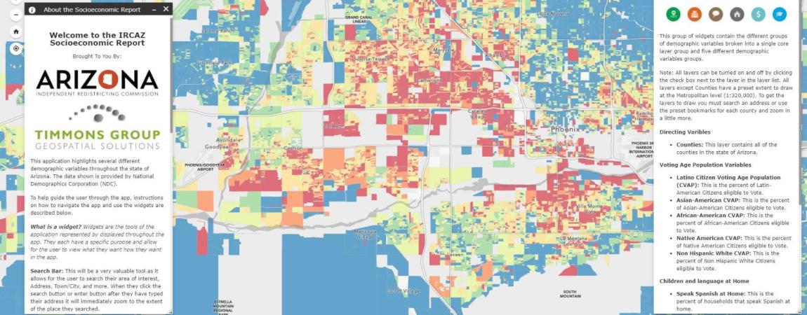
A portion of IRC's Mapping Hub, the Maps & Apps section allows viewers one location to explore Listening Tour survey responses, view the Communities of Interest Report, launch the Socioeconomic Report Application, and more.
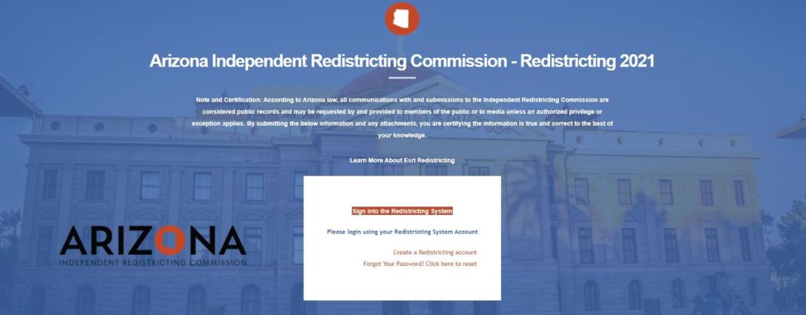
The Redistricting System is a free tool available to anyone interested in proposing changes to the Arizona legislative and congressional maps. The System provides users comprehensive data, features and functionality for plan management, visualization, editing, and community collaboration using the latest available census and state data to draw maps and submit them to the Commission.
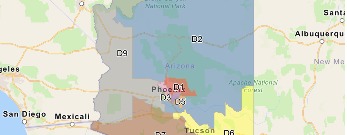
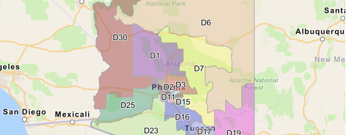
View the Approved Draft Maps and use the Draft Maps Application to interactively explore the 9 Congressional and 30 Legislative Districts.
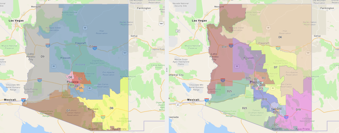
View and compare the modifications in the Final Draft Maps by using the Maps Application to interactively explore.
Official Congressional Map Version 14.0 was officially adopted on January 18, 2022 as the Approved and Certified Official Congressional Map, and reaffirmed on January 21, 2022. Official Legislative Map Version 17.0 was officially adopted on January 21, 2022 as the Approved and Certified Official Legislative Map. Use the Maps Application to interactively explore them both.